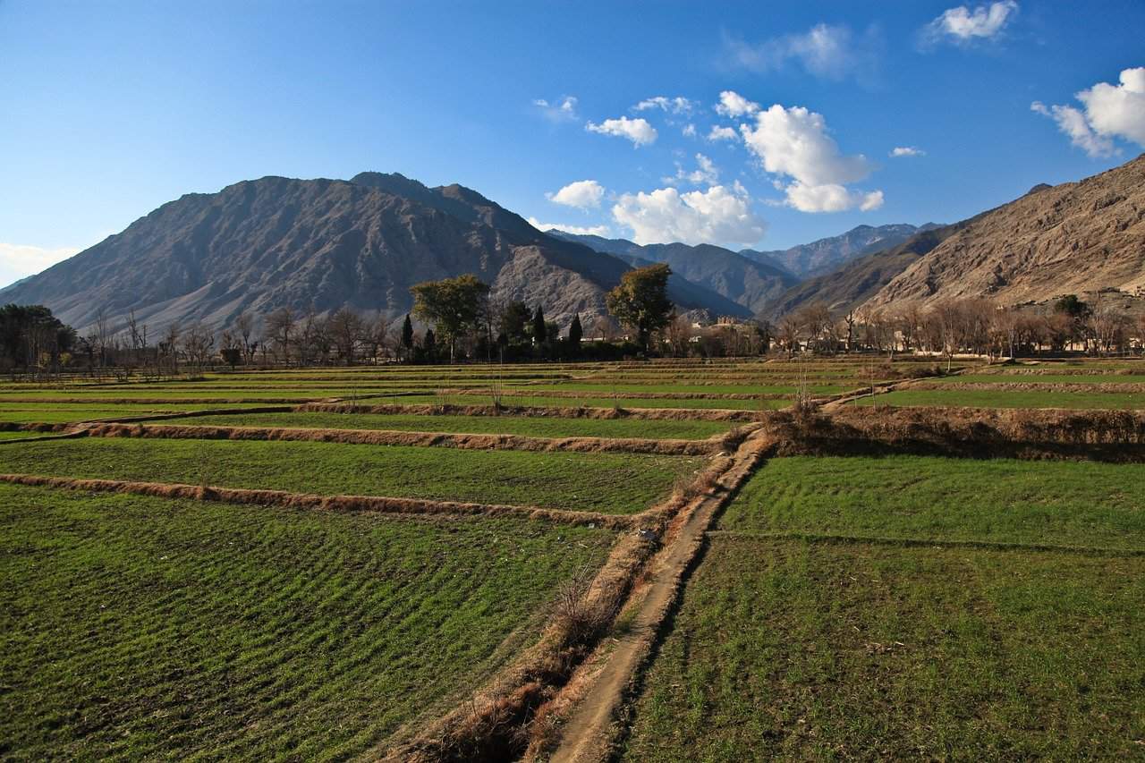
ME&A-Led Team Uses Remote Sensing and GIS to Evaluate Agricultural Project in Afghanistan
ME&A recently completed a mid-term performance evaluation including remote sensing and geographic information systems (GIS) to assess a USAID umbrella project aimed at improving the food and economic security of rural Afghans.. The performance evaluation, conducted with subcontractor Abt Associates, was under the ME&A-led Feed the Future Global Program Evaluation for Effectiveness and Learning (PEEL).
USAID funds the $241.7 million umbrella Regional Agriculture Development Program (RADP) in four regions of Afghanistan as four separate regional projects—RADP-North, RADP-West, RADP-South, and RADP-East—across 21 provinces and 116 districts in Afghanistan. The evaluation took place during implementation of RADP-North and RADP-East, and at the end of RADP-West and RADP-South.
ME&A’s evaluation team developed a cross-sectional design using qualitative methods and data analysis, key information interviews and focus group discussions, data from technical documents, and GIS and remote sensing. Evaluation questions focused on sustainability, results, training, integration of women and youth, the effectiveness of a regional approach compared to a commodity-specific approach, and institutional and informational structures. USAID/Afghanistan will use the evaluation results to scale up or modify activities.
PEEL supports USAID’s Feed the Future Initiative through population-based surveys, performance and impact evaluations, and other evaluative studies. These services allow USAID to better understand how Feed The Future activities are being implemented, how well they are performing, and how they are perceived by beneficiaries. USAID awarded the PEEL task order to ME&A in 2016 under the Policy, Planning and Learning-Learning, Evaluation and Research (PPL-LER) Indefinite Delivery Indefinite Quantity Contract providing evaluation, monitoring, and assessment services for USAID Missions and Offices worldwide.


